Case Study #1
Bo, Sierra Leone - Step 2
-
3
Easy Activities -
17
Tasks -
2
Workshops
A Rapid Growth Plan
The Key Output of Step 2 is to create a Rapid Growth plan for your growing city. The Step is broken down into three parts to achieve this: A) Preparing for the Growth Plan Workshop, B) Identifying the Growth Areas Workshop, and C) Structuring the Growth Areas. Bo City Council undertook all of these activities extremely successfully.
Bo City Council felt they learnt three key lessons from Step 2:
1) The skills to read maps, drawing and interpret scale
2) How to use technology to make tasks easier
3) The importance of involving stakeholders throughout the process
Preparing for the Growth Plan Workshop
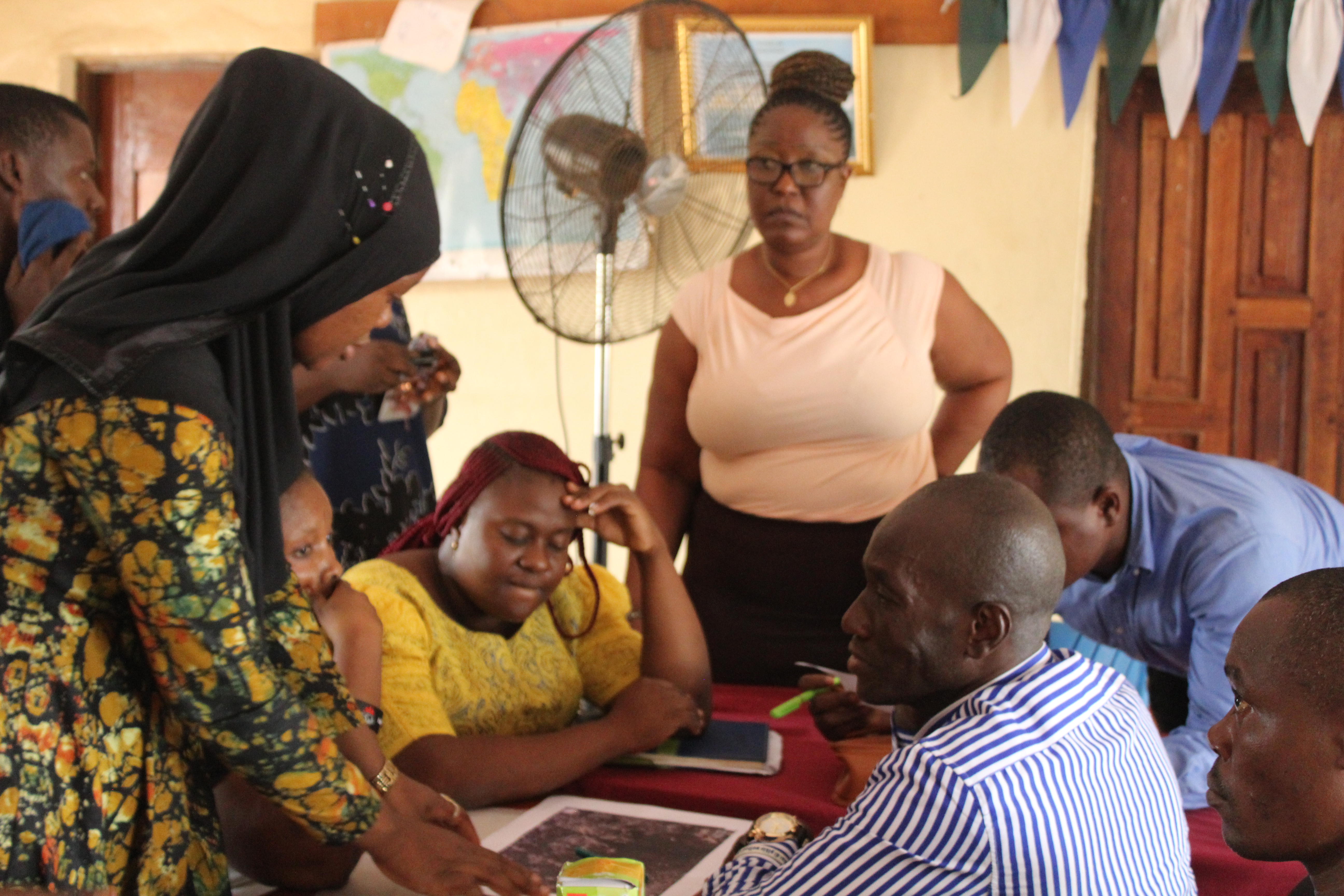
During this preparatory step, a small team from Bo City Council, along with the in-country technical support Catriona Forbes, went through the necessary steps to prepare for the Identifying the Growth Areas Workshop. The team sourced and created a variety of maps depicting the current situation in Bo including natural features, transport networks, community assets, utilities, administrative boundaries and land use zones. This data was collated ready for Activity B.
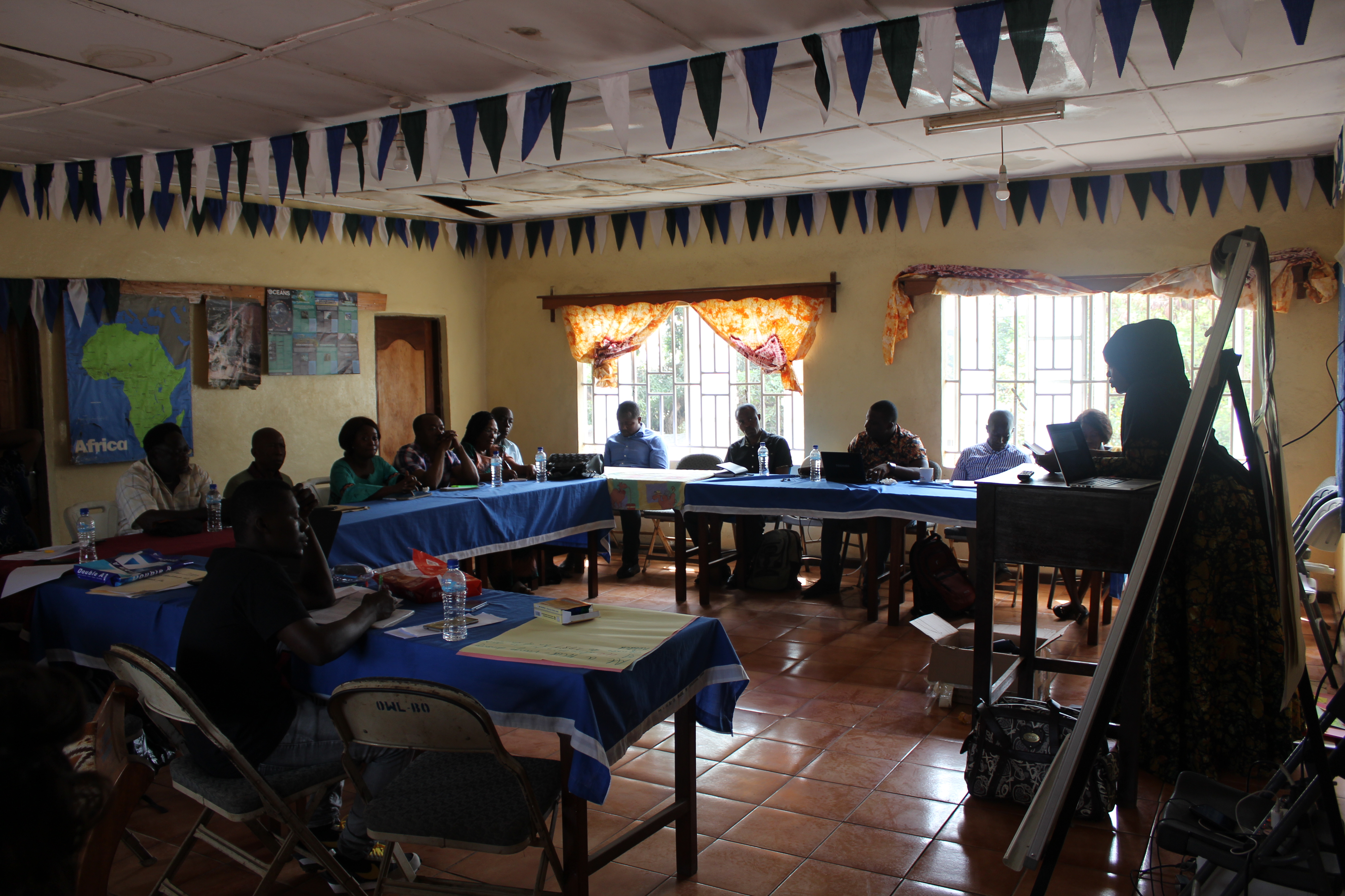
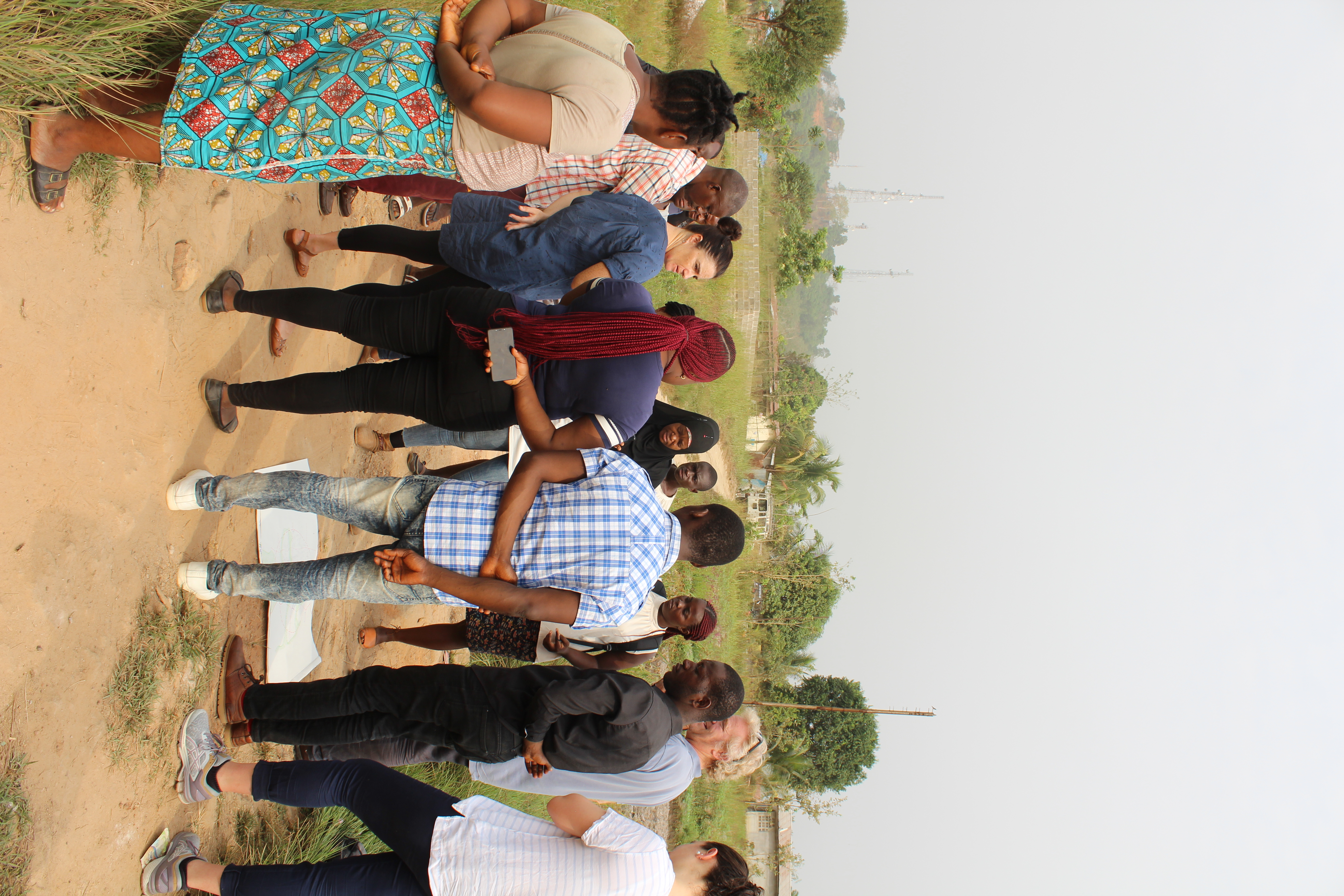
Workshop: Identifying the Growth Areas
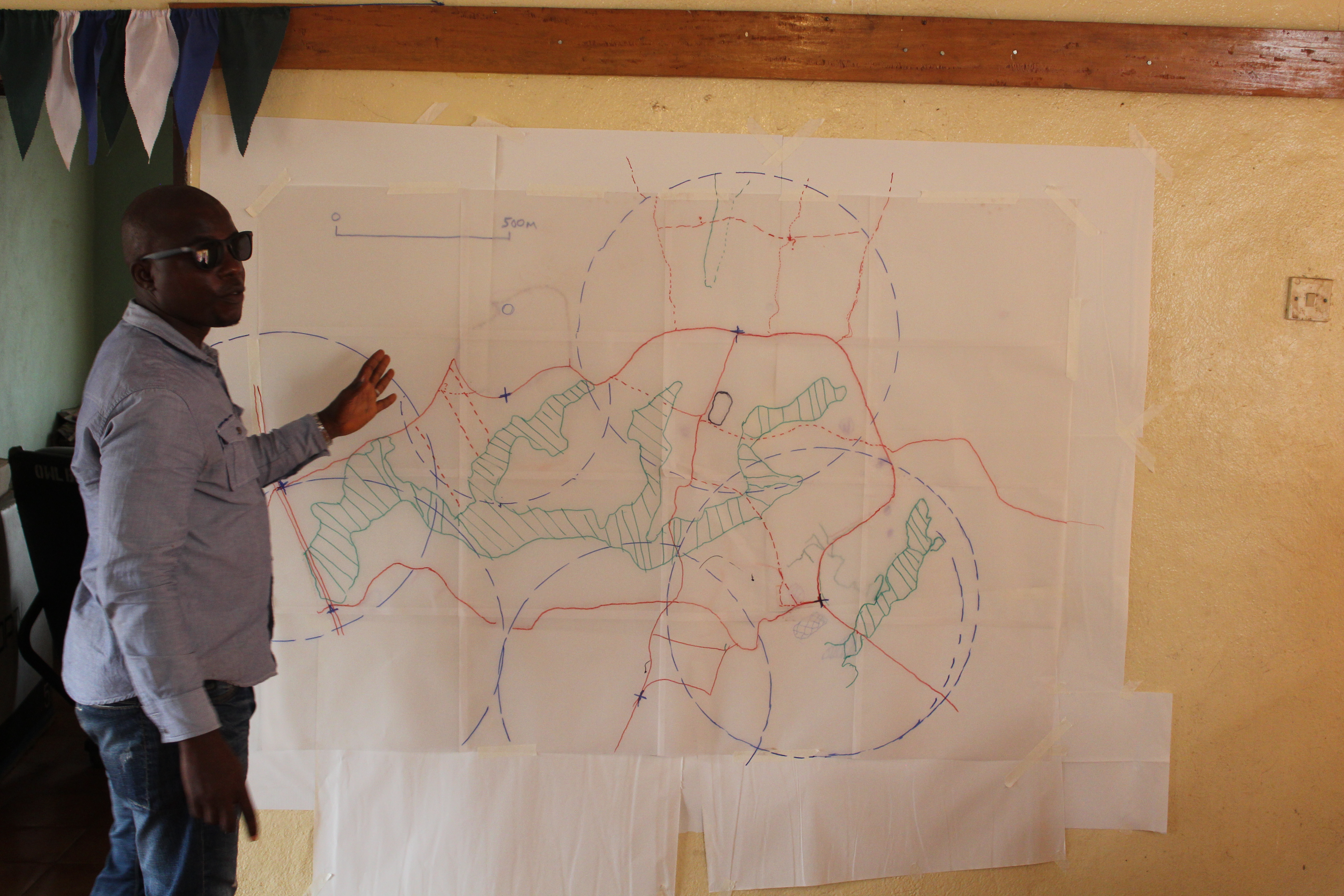
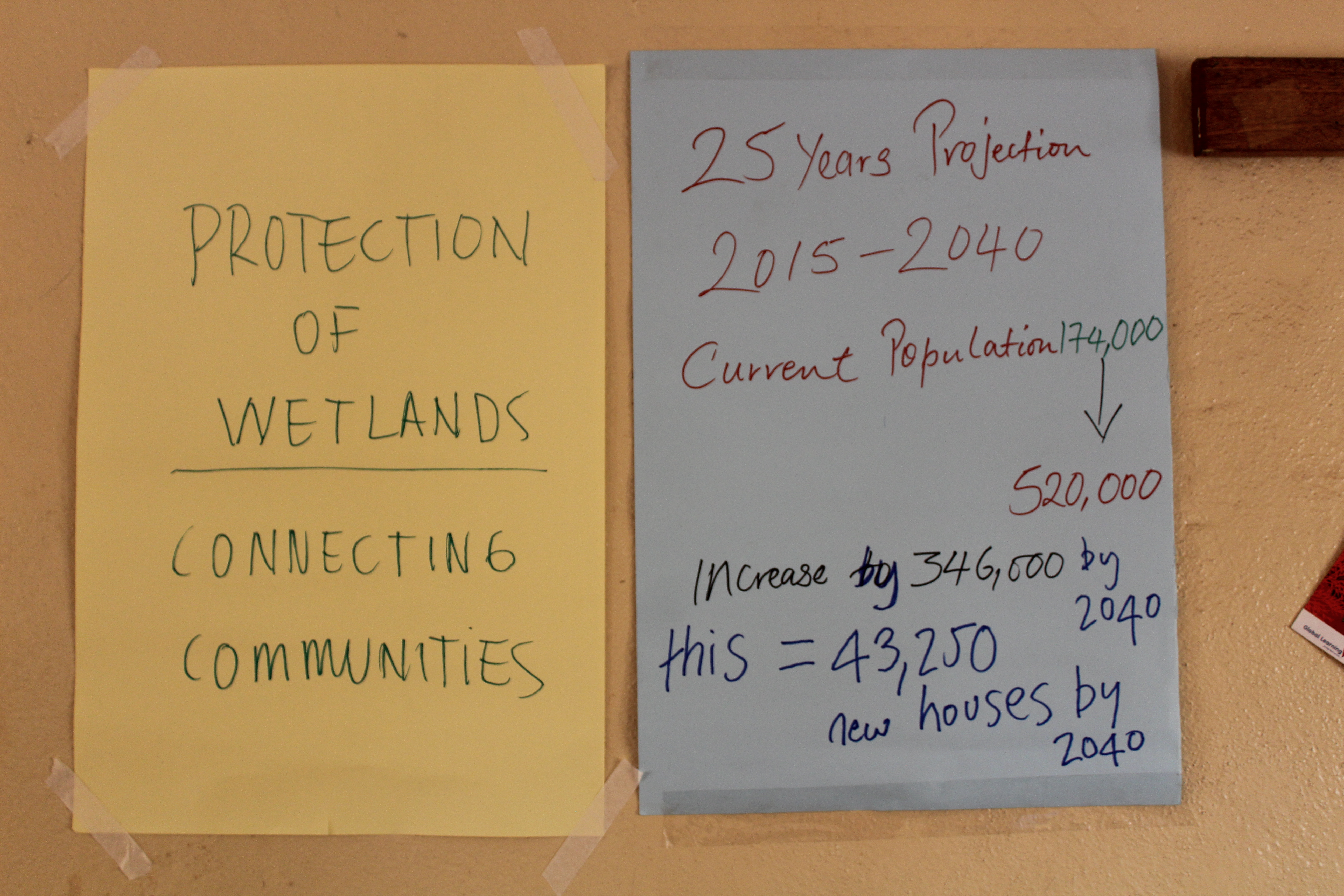
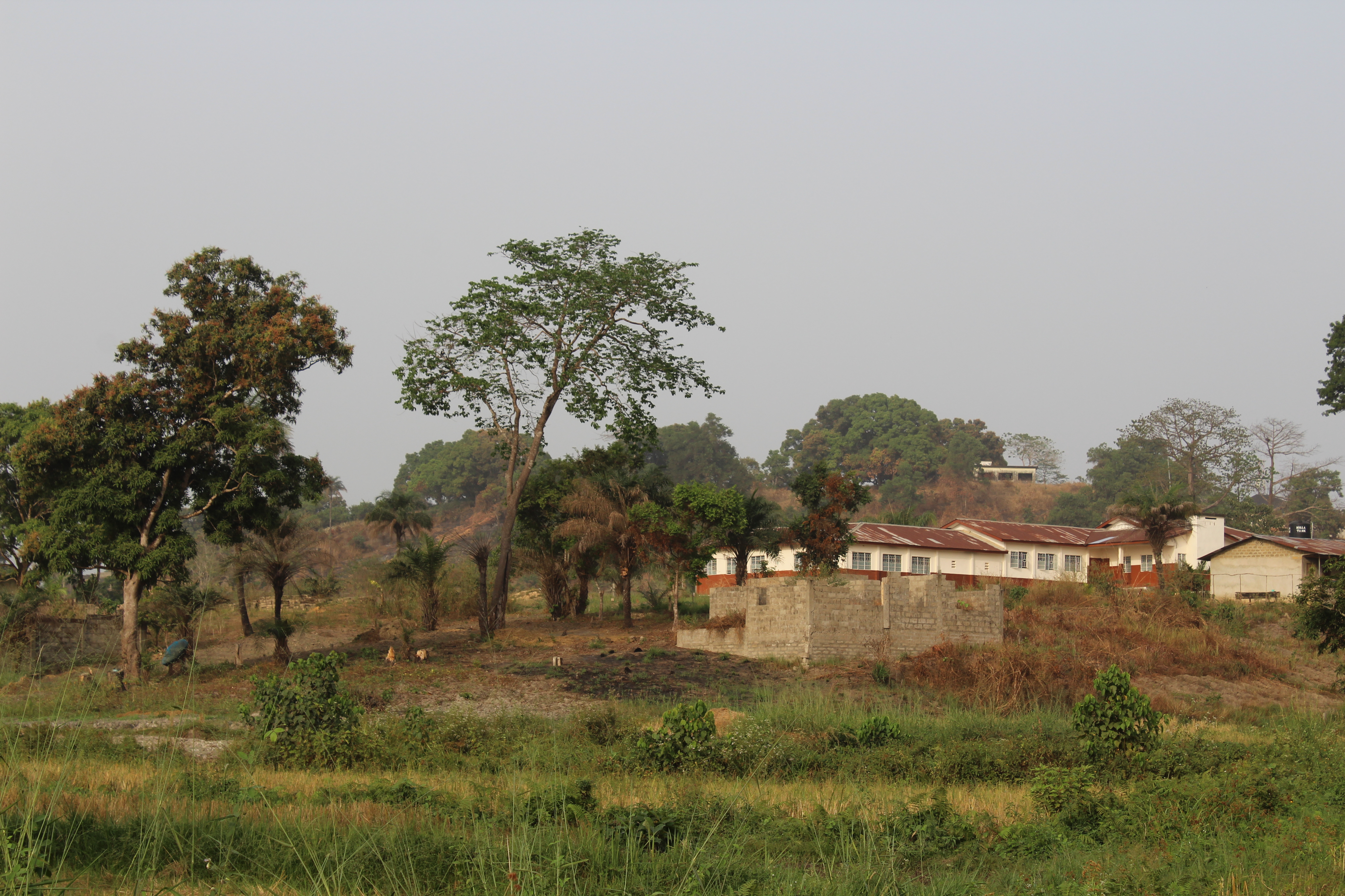
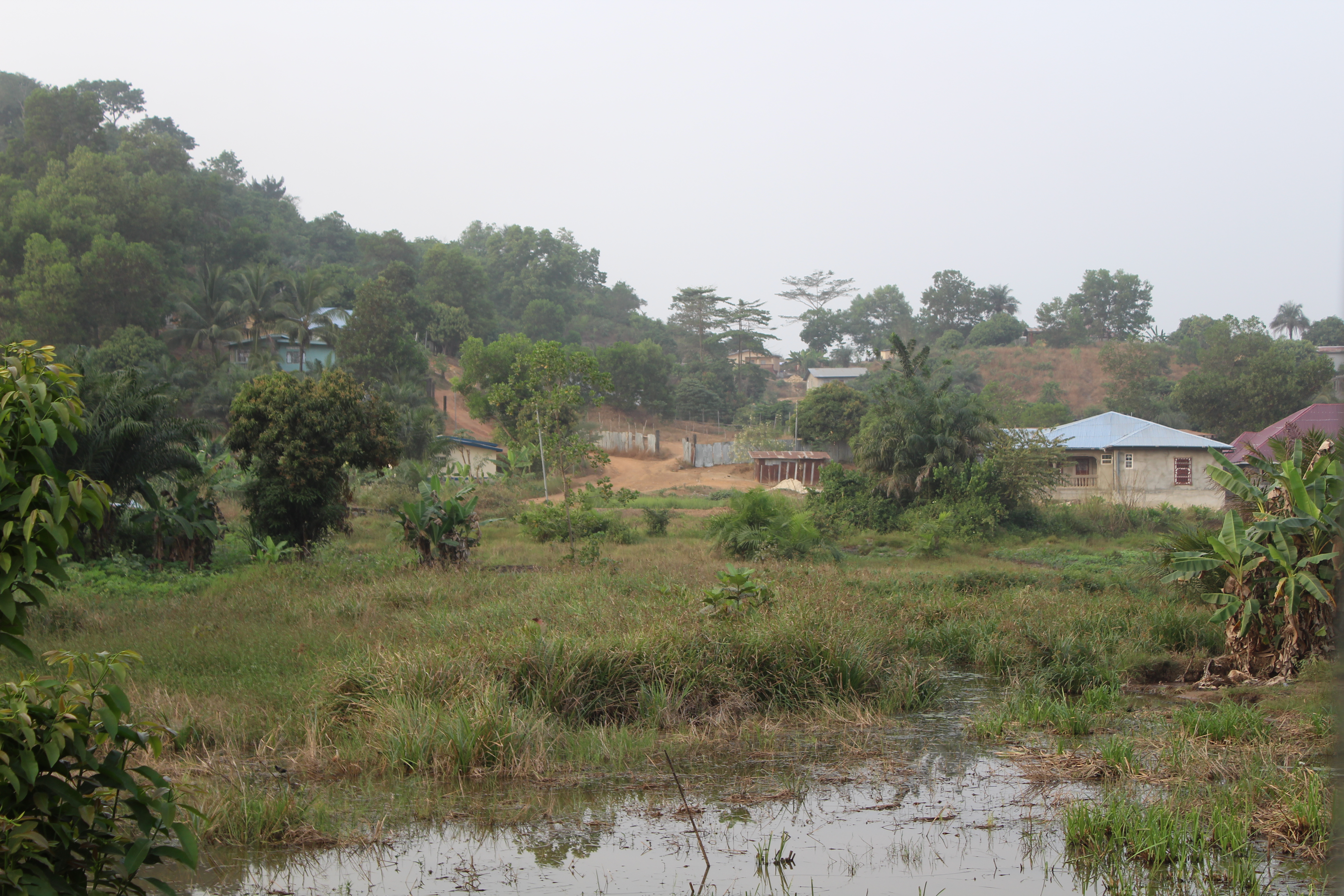
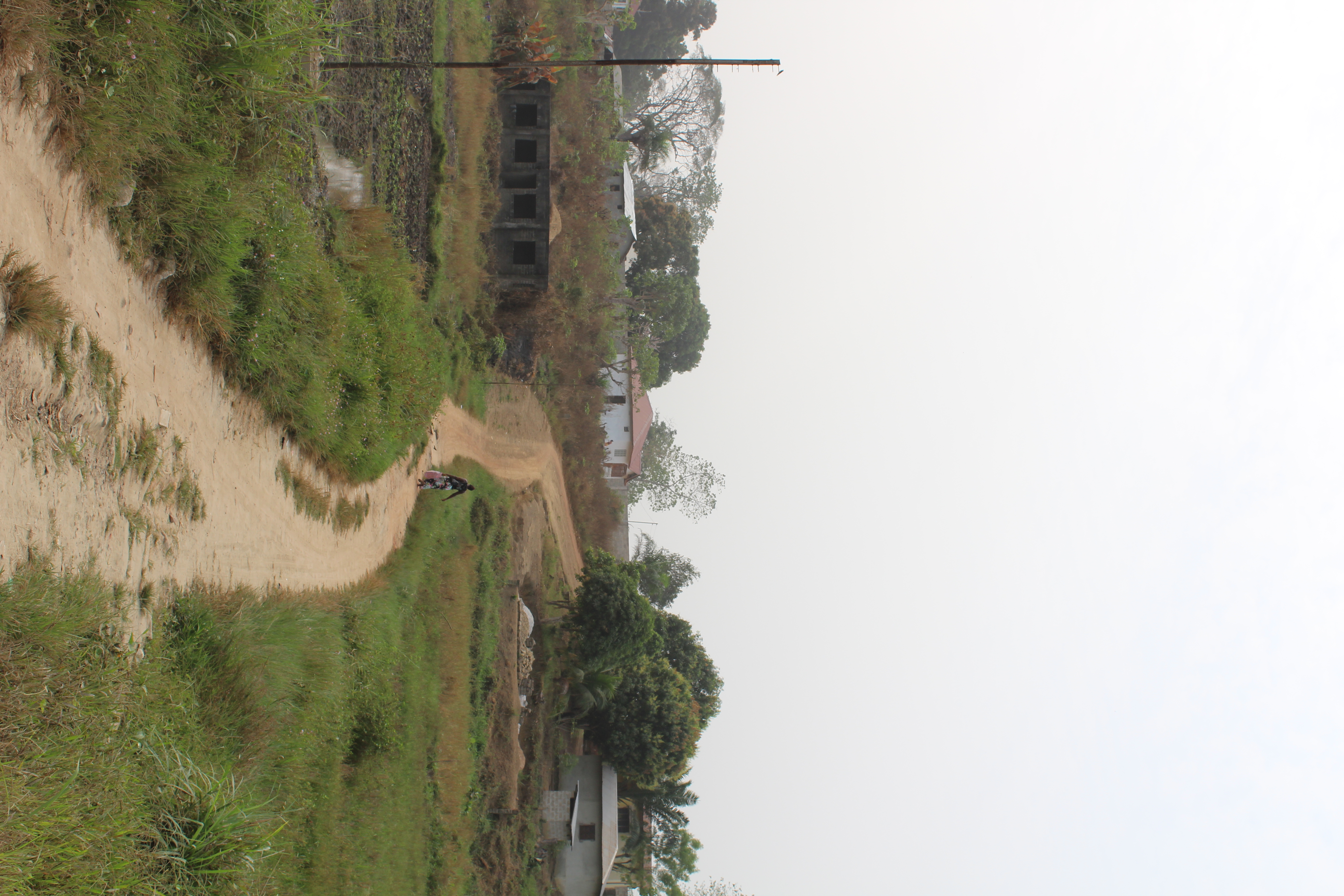
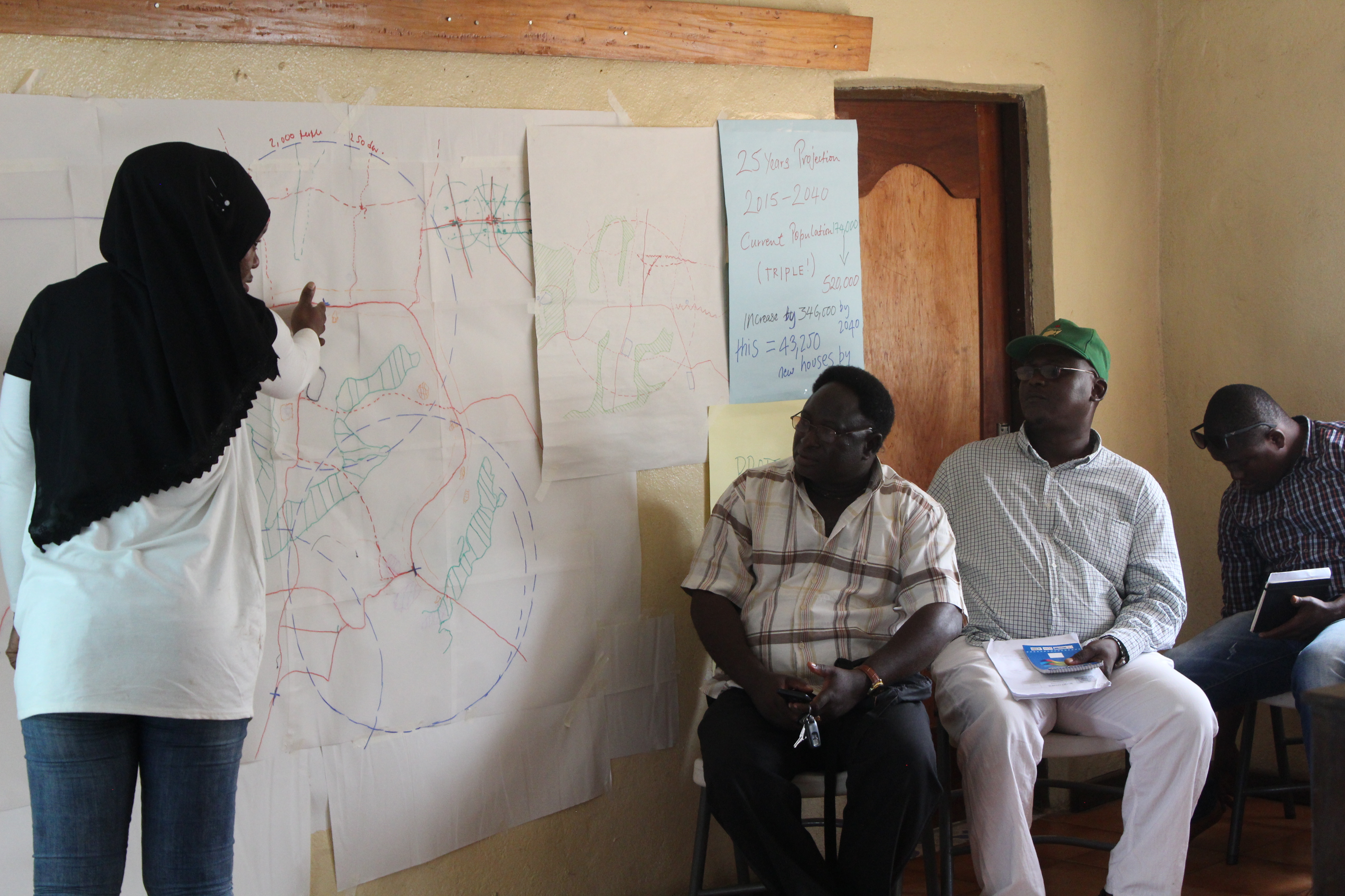
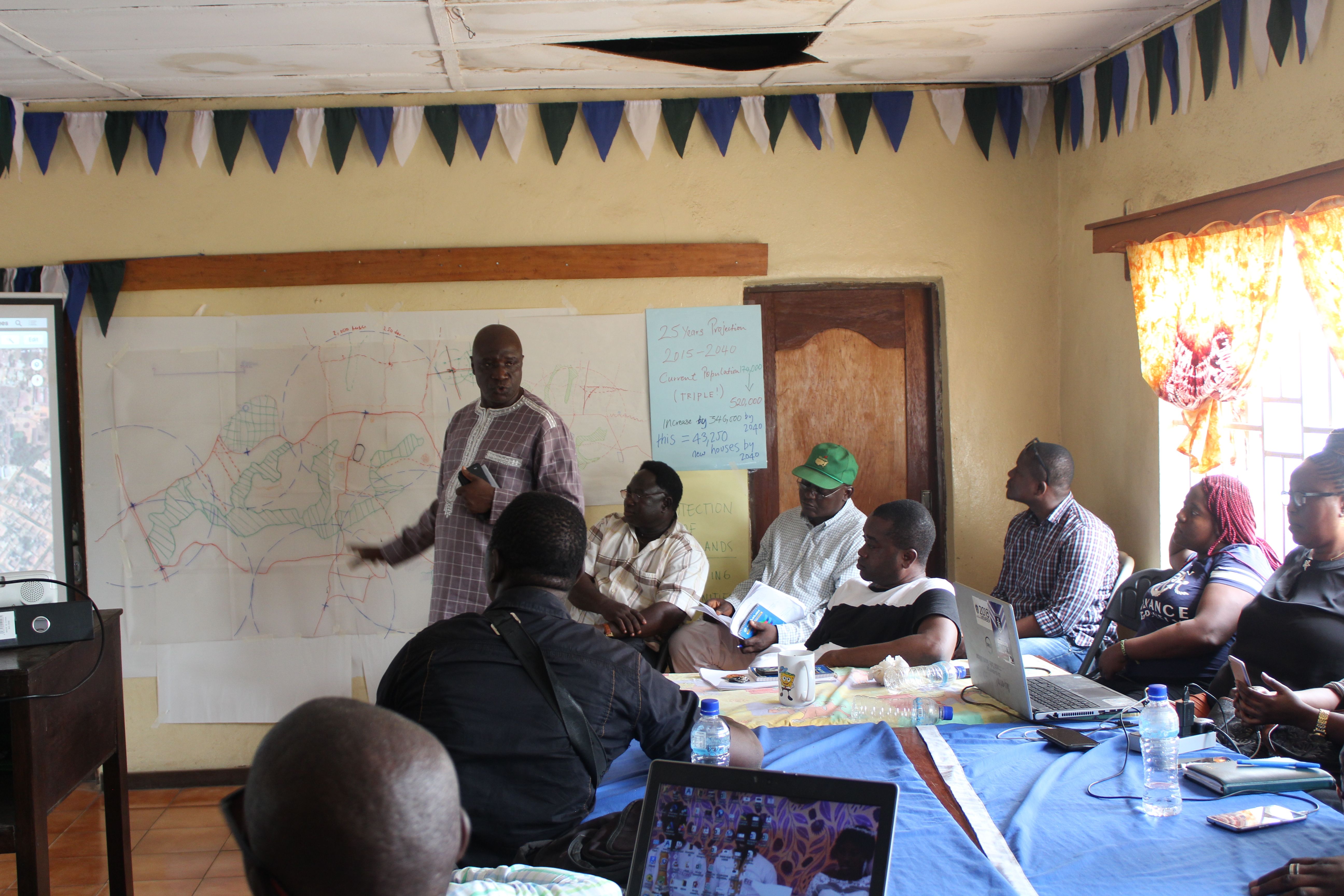
The Bo City Council team were joined by Bo District Council members, Land Owning Families and Paramount Chiefs to undertake the Workshop. Constraints were initially faced as the team struggled to trace over maps printed at A4 (the largest available printer). Despite this, by the end of the day a growth area to the North of Bo was identified as being the best place to structure a new neighbourhood. The area is home to wetlands which are already being built on, so it was identified as an opportunity to act quickly to preserve the wetlands whilst making space for sustainable development and creating good transport links between the North and North-west highways.
Structuring the Growth Areas -
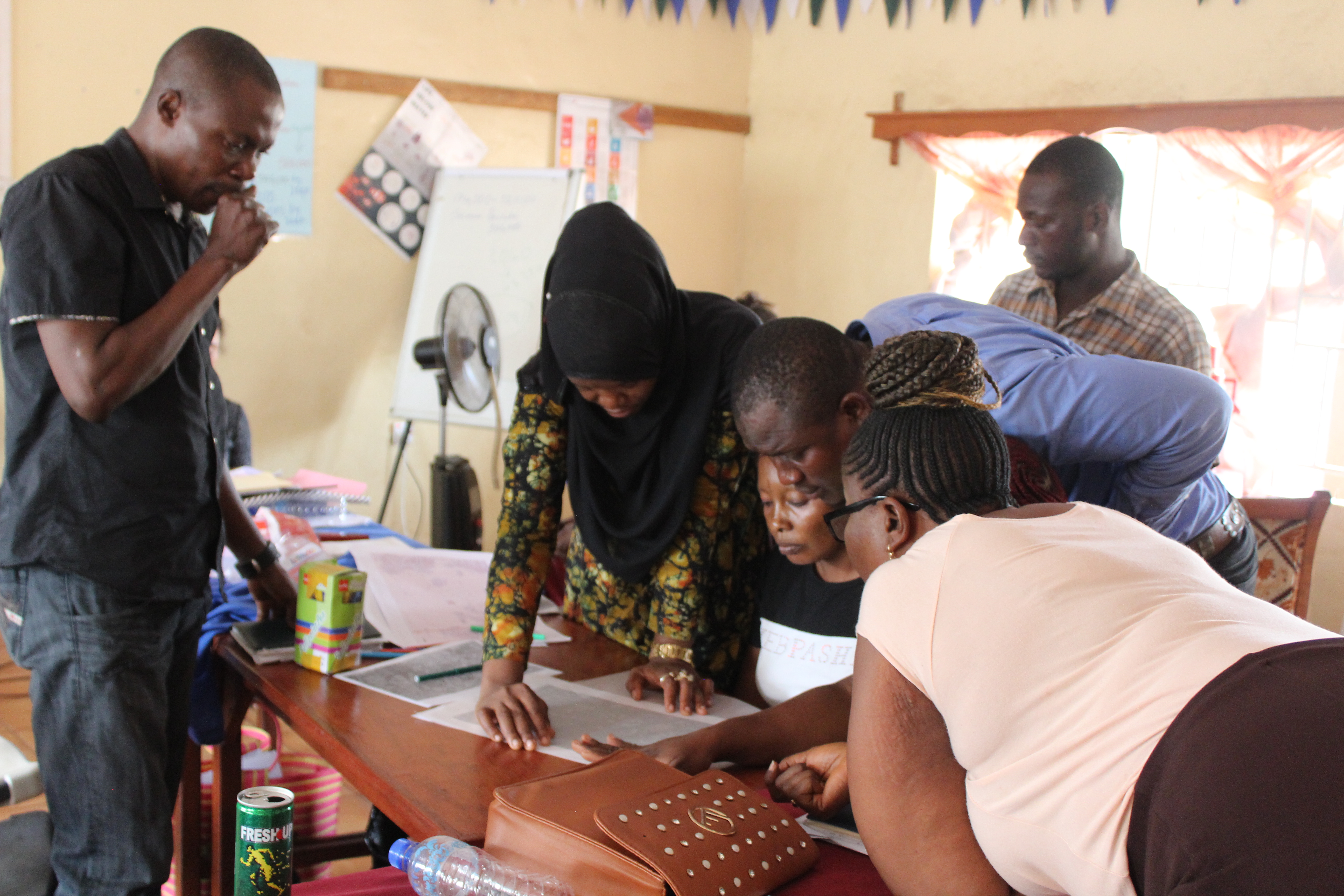
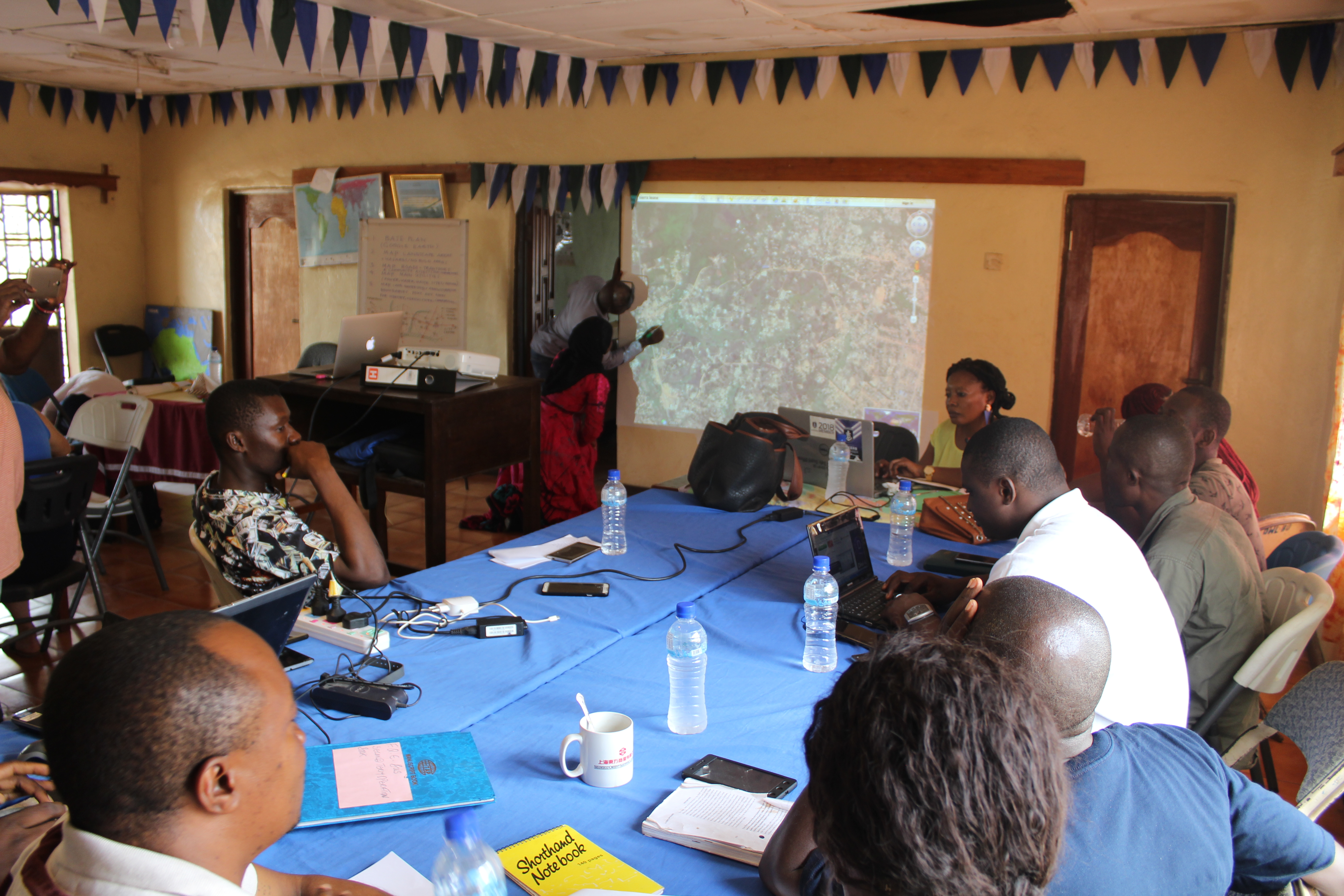
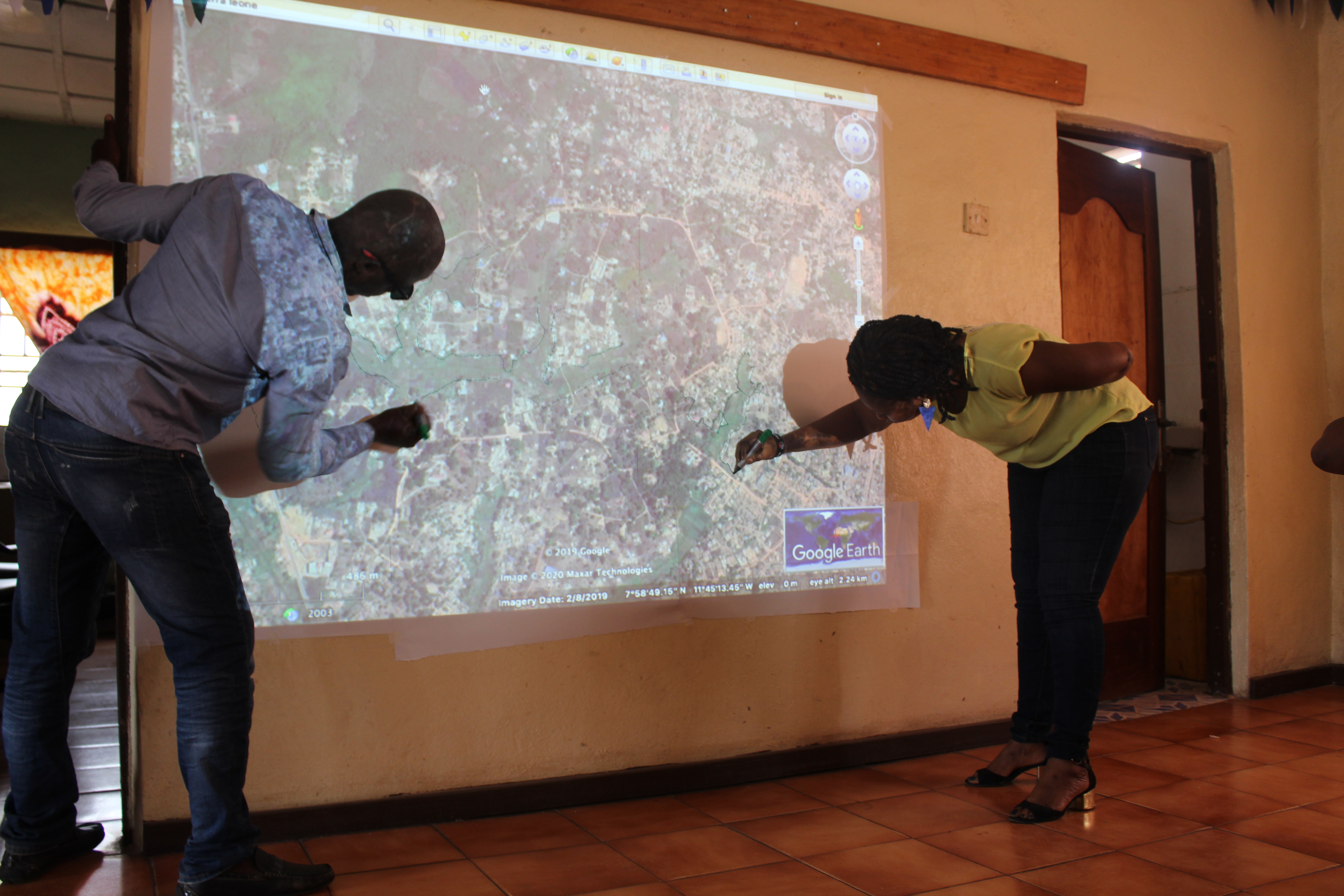
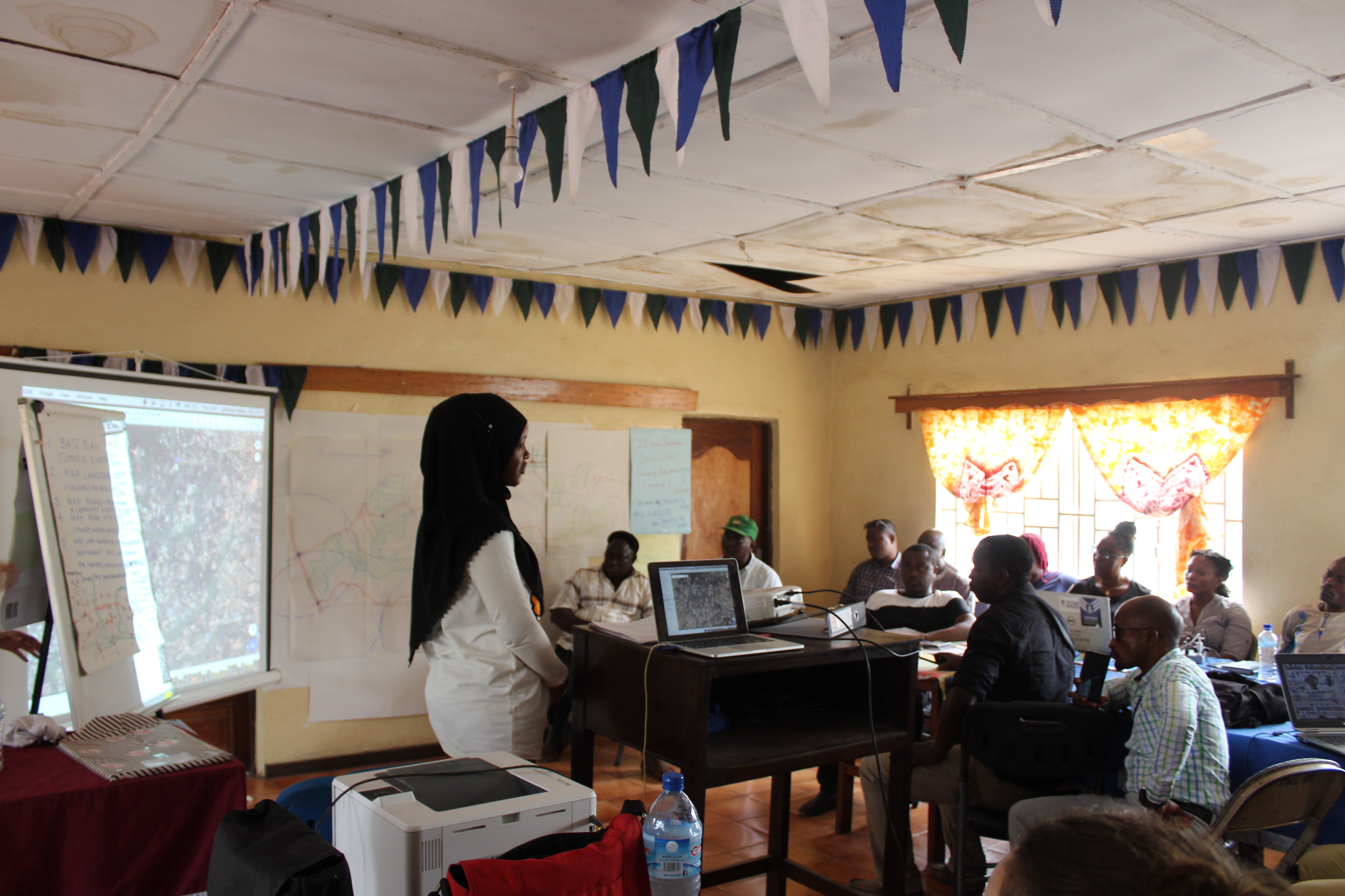
Design Workshop
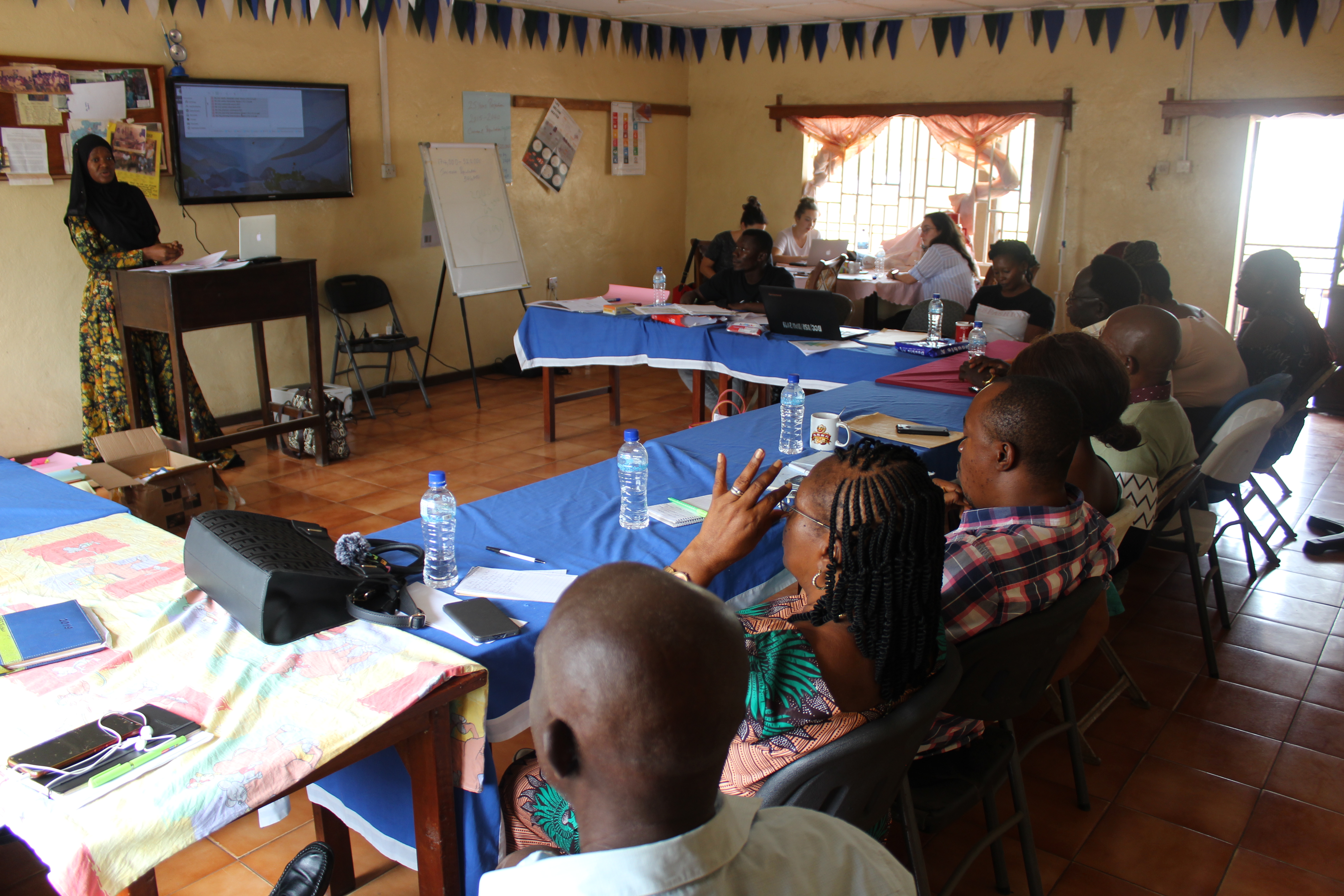
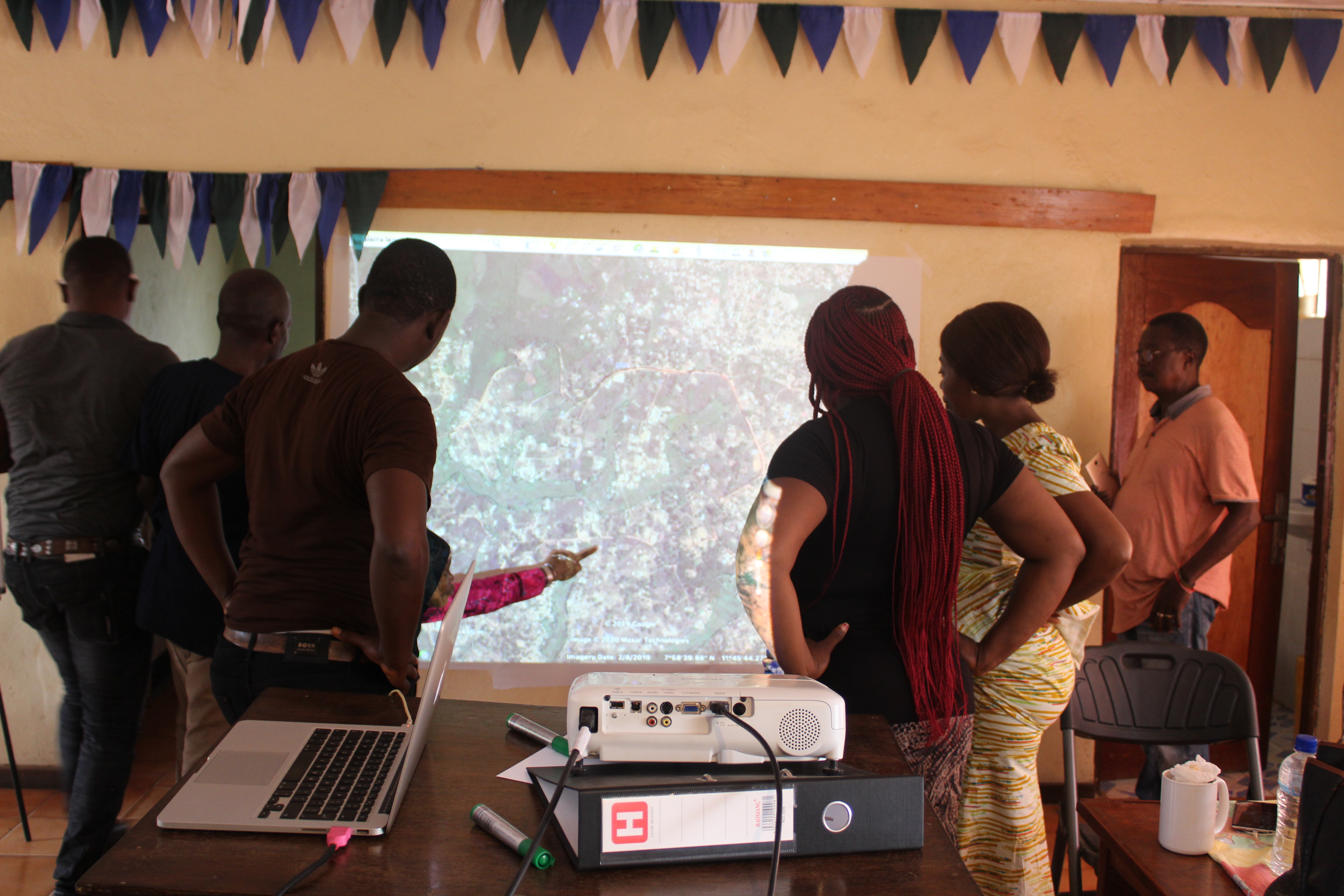
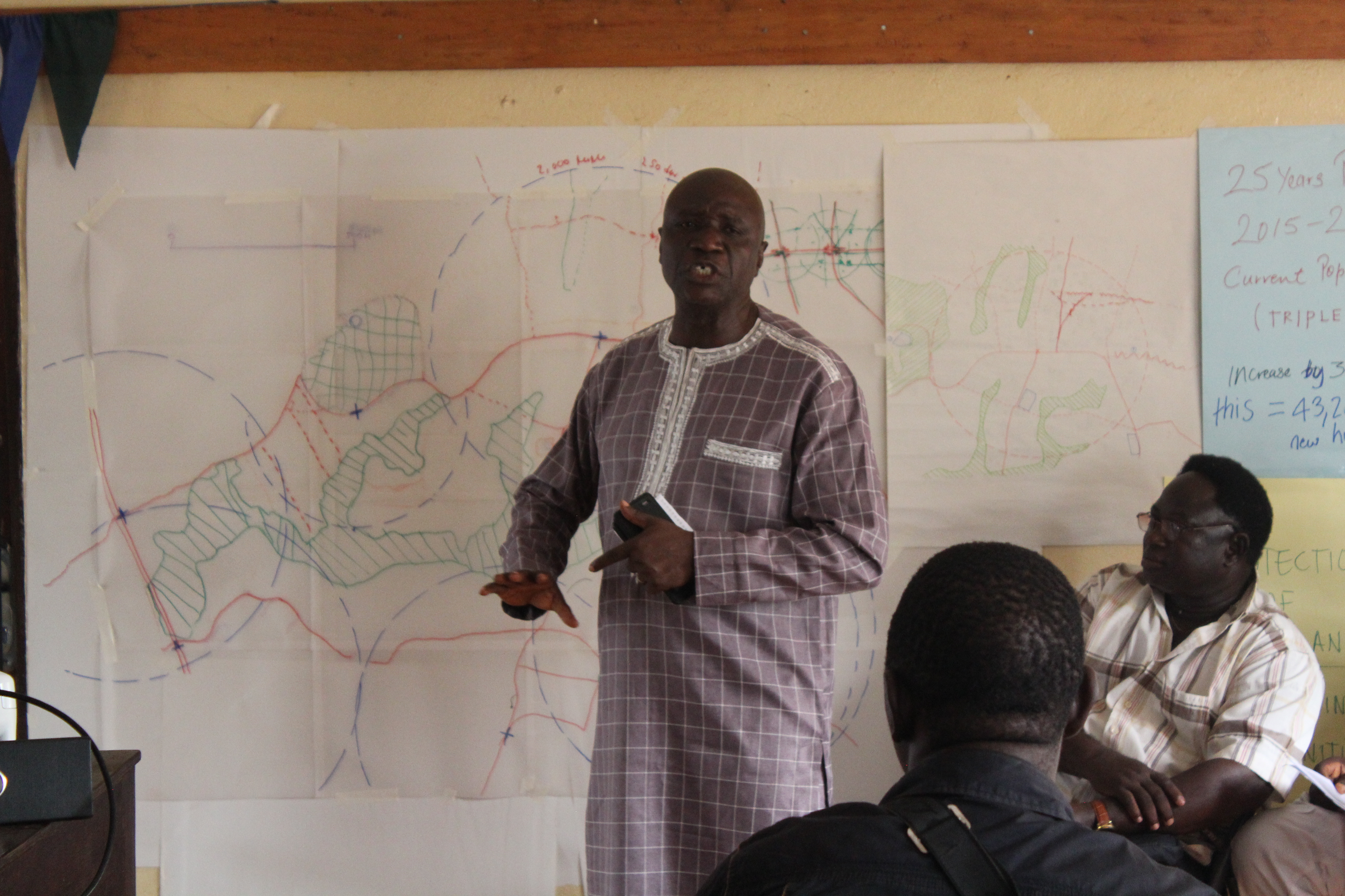
The Design Workshop was attended by Bo City Council, Bo District Council and the relevant Paramount Chiefs and Land-Owning Families. To overcome the technical challenges faced in Activity B, the team projected google maps onto the wall, taped up flip chart paper and were able to trace at a much larger scale.
The group identified blue and green corridors, the transport networks and any existing buildings and community assets. By drawing over the chosen neighbourhood, the various stakeholders were able to gain a deeper understanding of the constraints and opportunities ahead of the afternoon site visit.
Structuring the Growth Areas -
Site Visit
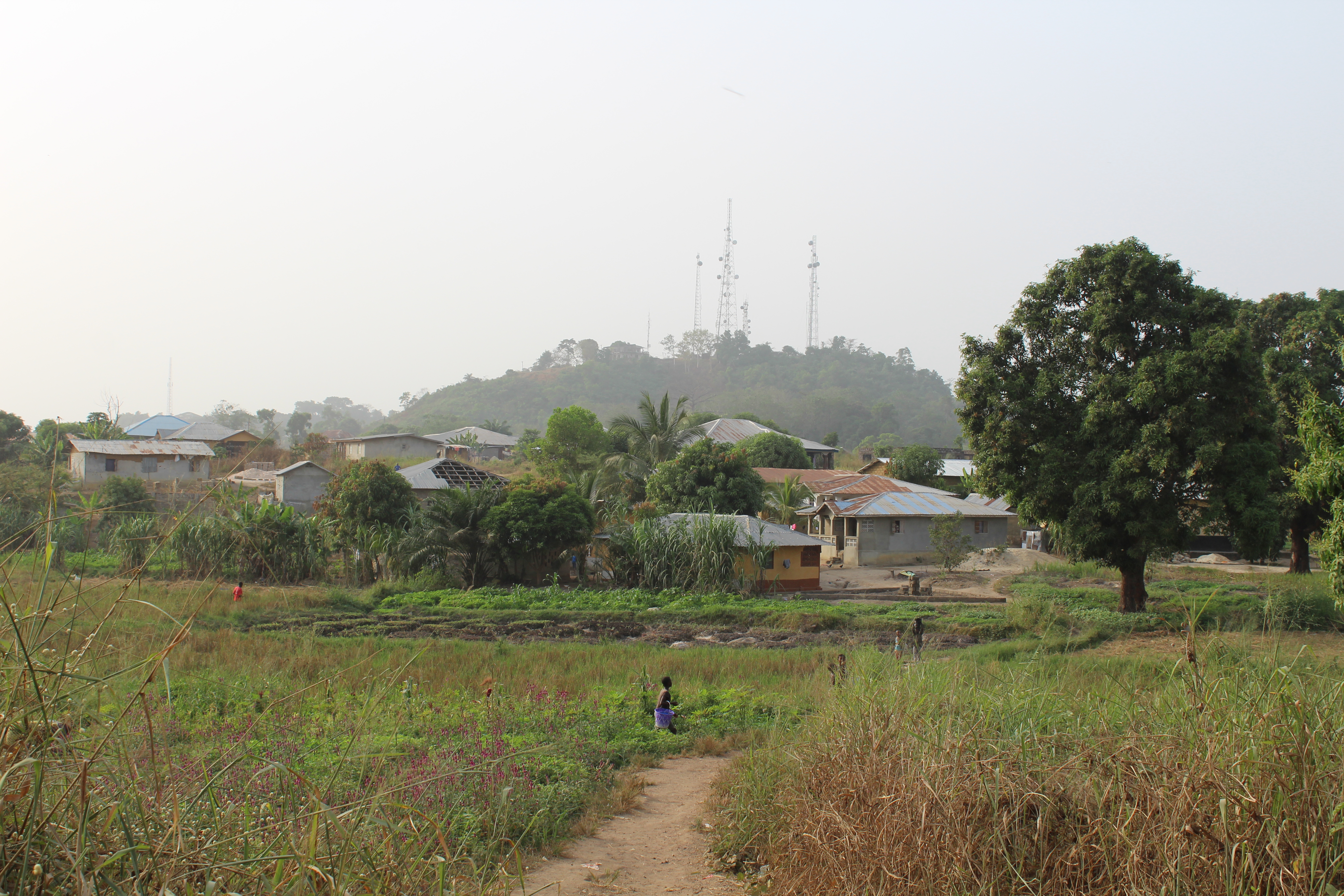
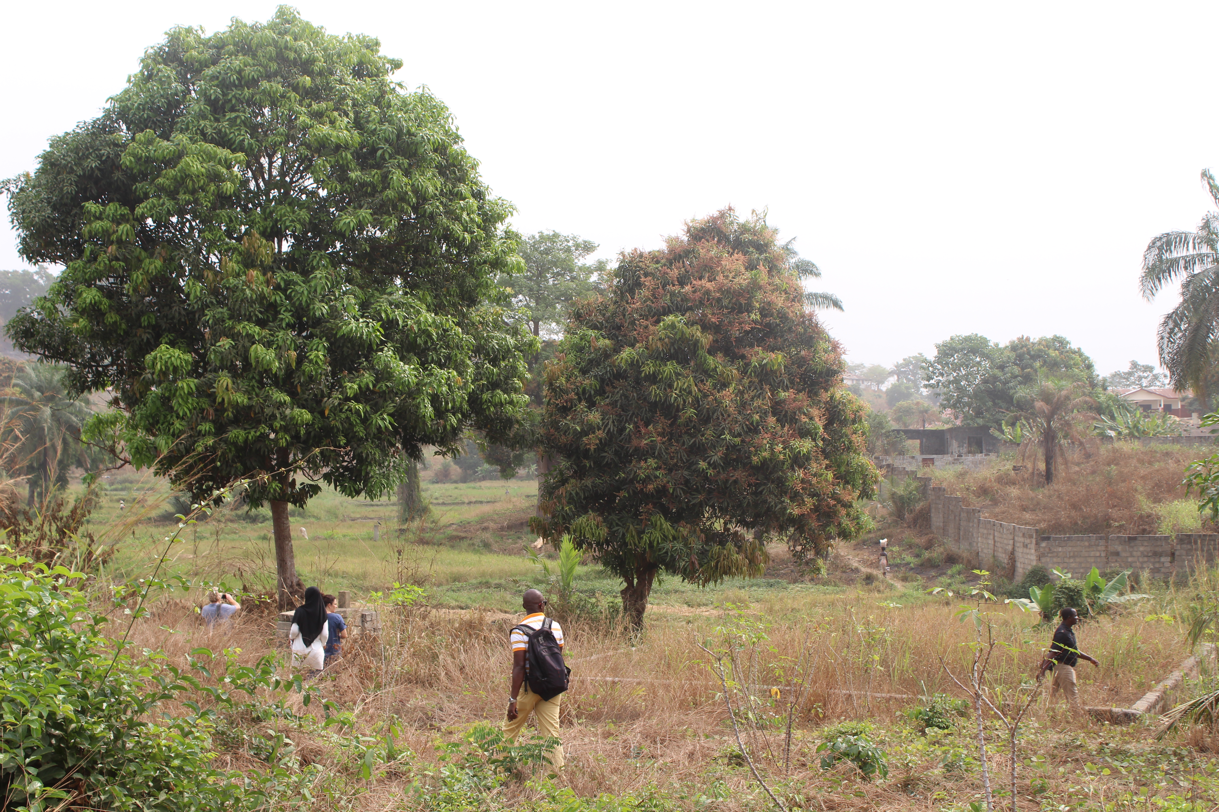
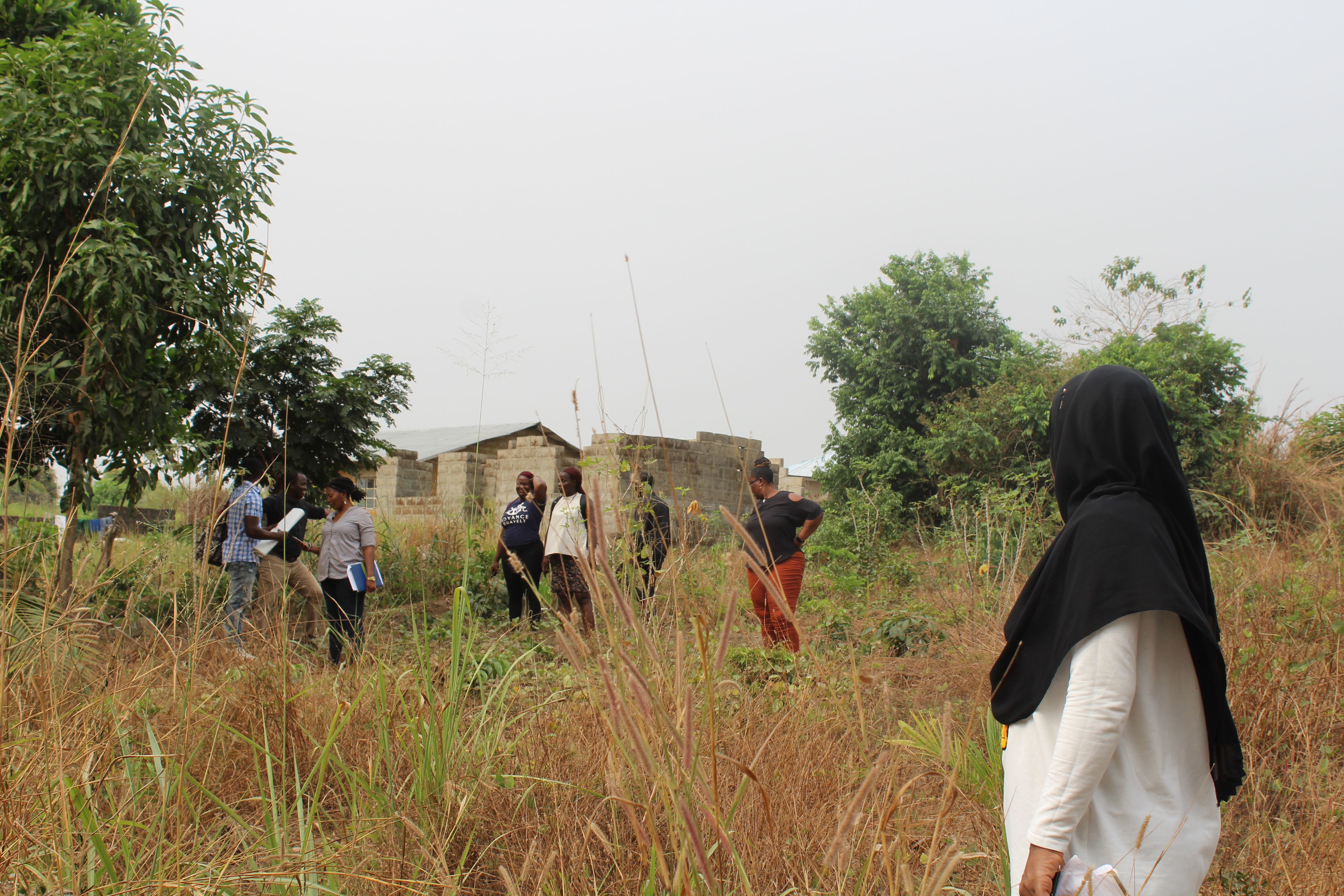
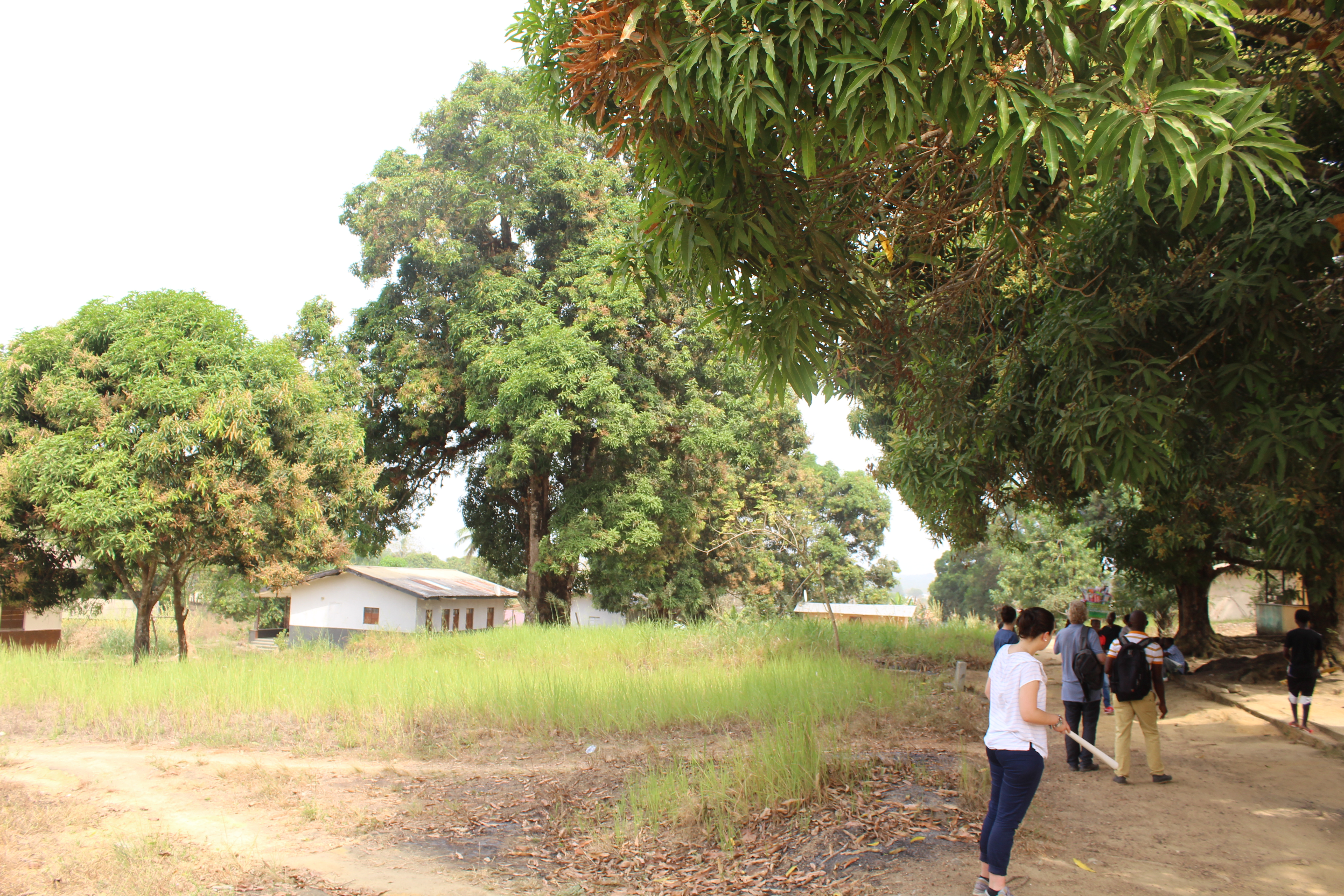
Once the group had gained a spatial understanding of the chosen growth area in the workshop, they went to visit the site. By downloading the area on google maps on their phones whilst in Wi-Fi they were able to take photos of the site with a matching GPS reference even though they were not connected to Wi-Fi or data.
The group realised the importance of the site visit when proposed routes that had been identified in the morning workshop were deemed impractical due to difficult topography and they were able to identify more logical routes as the site was extensively analysed. The site visit also enabled engagement with the community - this relationship will be important as the design of the growth area continues.
Structuring the Growth Areas -
Presenting the Neighbourhood
Following a successful site visit the group made sure to update their neighbourhood plan based on their findings at the site. Once this was finalised, the spatial plan was termed the ‘Key Fixes Plan’.
The Key Fixes Plan was then presented to the Bo City Council Mayor’s team. The assistant Mayor congratulated the group and confirmed his support for the Key Fixes Plan. With Step 2 completed, the Bo team moved from participatory planning straight to implementation on the ground, with Step 3.